|
| *****SWAAG_ID***** | 714 |
| Date Entered | 07/04/2013 |
| Updated on | 07/04/2013 |
| Recorded by | Tim Laurie |
| Category | Burnt Mound |
| Record Type | Archaeology |
| Site Access | Private |
| Record Date | 06/04/2013 |
| Location | Low Wanlass Springs |
| Civil Parish | West Witton |
| Brit. National Grid | Hidden |
| Altitude | 133m |
| Geology | Till over Hardraw Scar Limestone.Spring rises and streams |
| Record Name | Low Wanless Springs. Burnt mound. Second record. See also previous SWAAG Record No 56 |
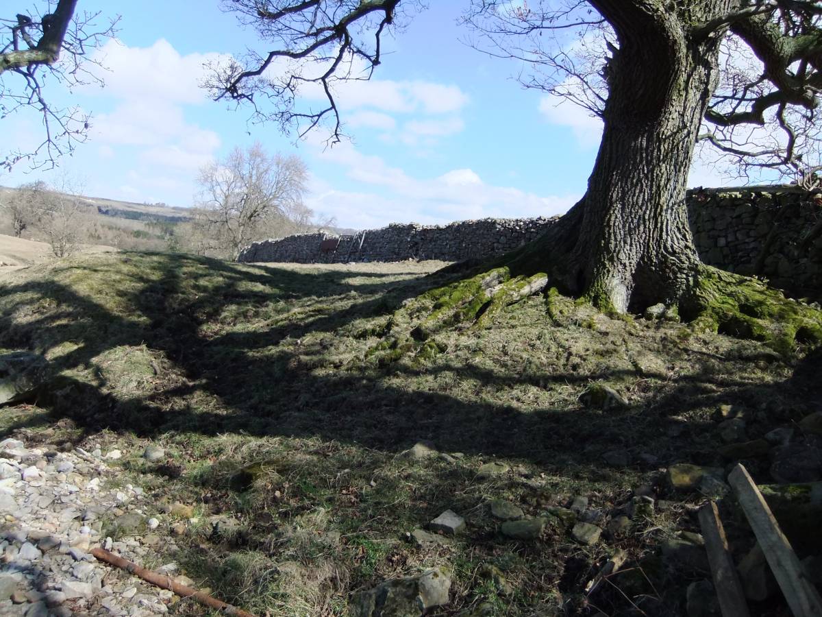
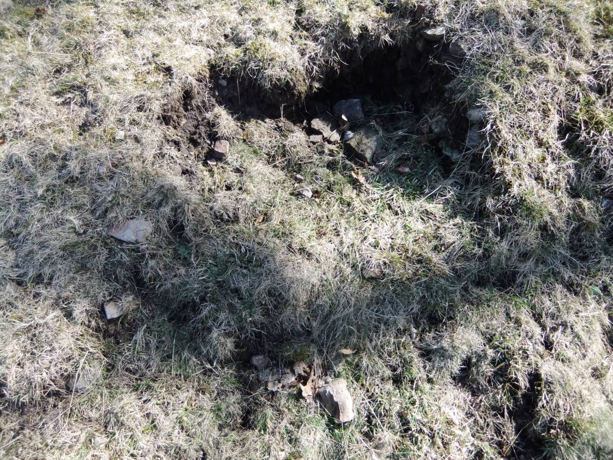
| Record Description | Very large,16m*8m*1.2m high, compact and undisturbed turf covered burnt mound on east bank of stream. The burnt stone core is visible where eroded by stream. A large oak tree grows on the mound. |
| Dimensions | 16m*8m*1.2m high |
| Additional Notes | This burnt mound is one of very few surviving mounds at valley floor level, being located some 400m from the River Ure, and just above the river flood level. 95% of all the 100 burnt mounds located in Wenselydale are at locations above 300m on the upper dale side.
This is the second visit to this burnt mound which was recorded before digital camera images were available. |
| Image 1 ID | 4339 Click image to enlarge |
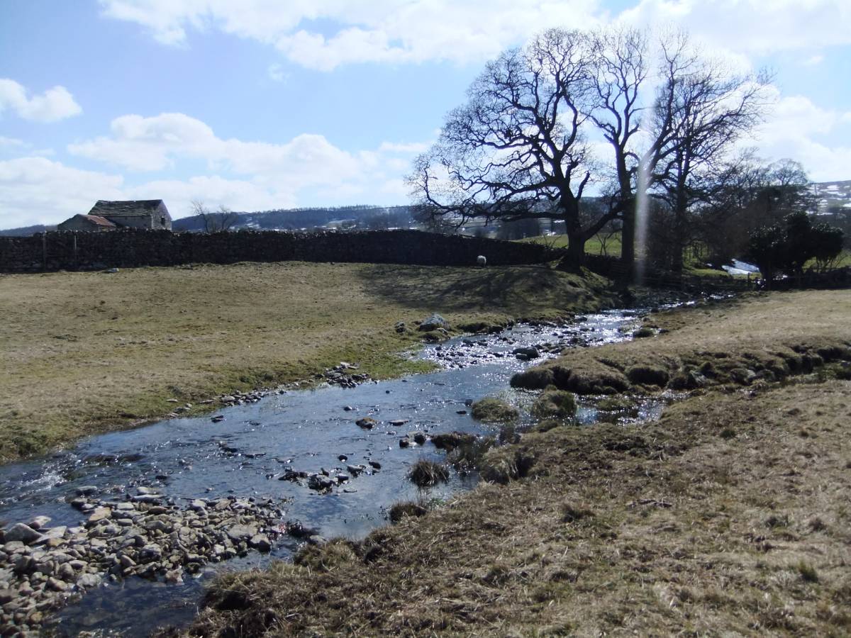
| Image 1 Description | The very large burnt mound at Low Wanless Springs supports a mature oak tree. | 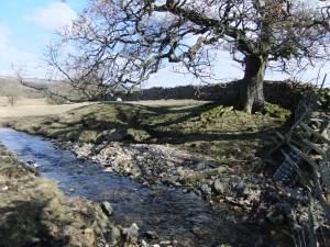 |
| Image 2 ID | 4340 Click image to enlarge |
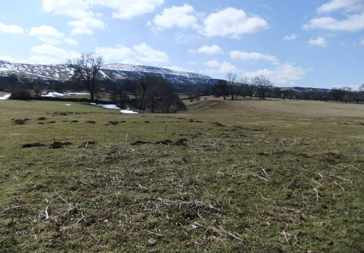
| Image 2 Description | Low Wanless pastures. | 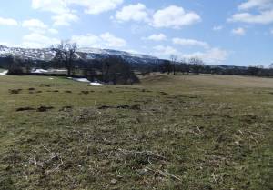 |
| Image 3 ID | 4341 Click image to enlarge |
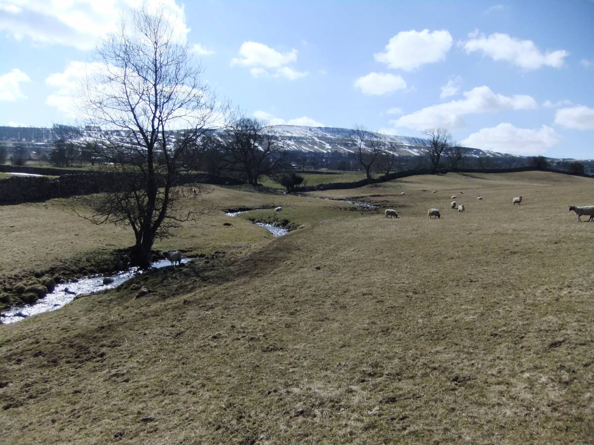
| Image 3 Description | The stream and burn mound location | 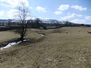 |
| Image 4 ID | 4342 Click image to enlarge |
| Image 4 Description | Burnt mound |  |
| Image 5 ID | 4343 Click image to enlarge |
| Image 5 Description | Burnt mound | 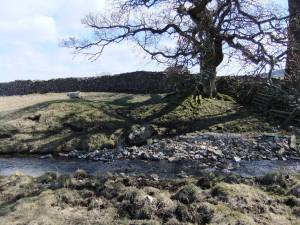 |
| Image 6 ID | 4344 Click image to enlarge |
| Image 6 Description | Burnt mound | 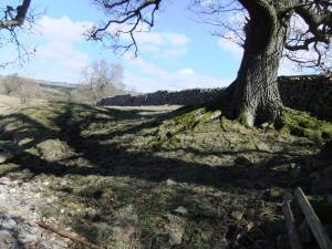 |
| Image 7 ID | 4345 Click image to enlarge |
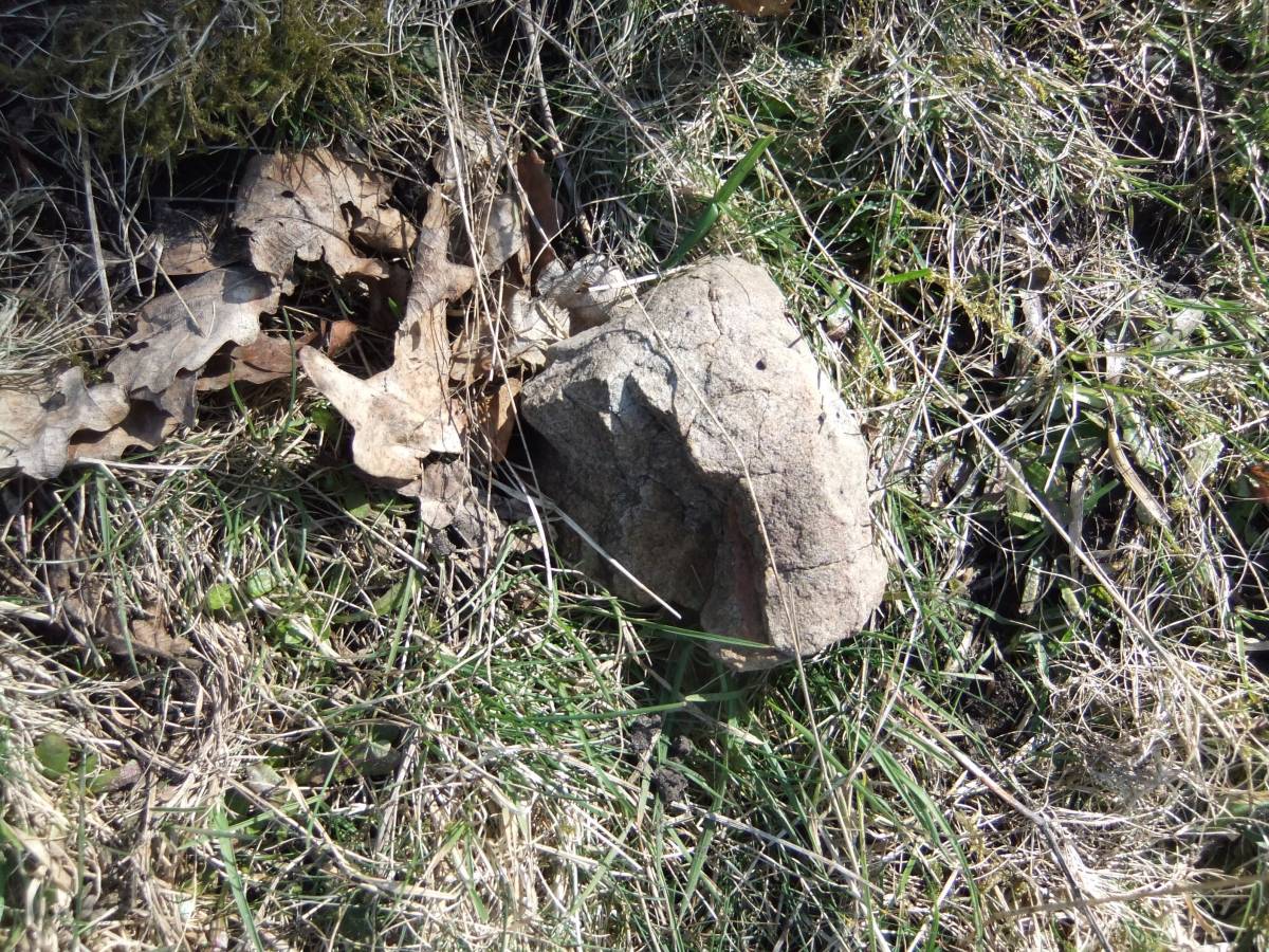
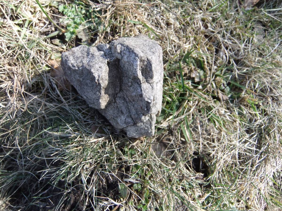
| Image 7 Description | Fire cracked stone visible from the mound | 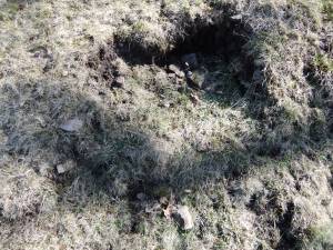 |
| Image 8 ID | 4346 Click image to enlarge |
| Image 8 Description | Fire cracked stone core of the mound is visible. | 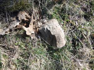 |
| Image 9 ID | 4347 Click image to enlarge |
| Image 9 Description | Fire cracked stone from the mound | 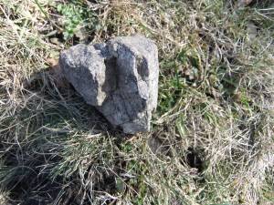 |